Meteorology Basics: Decoding the Atmosphere
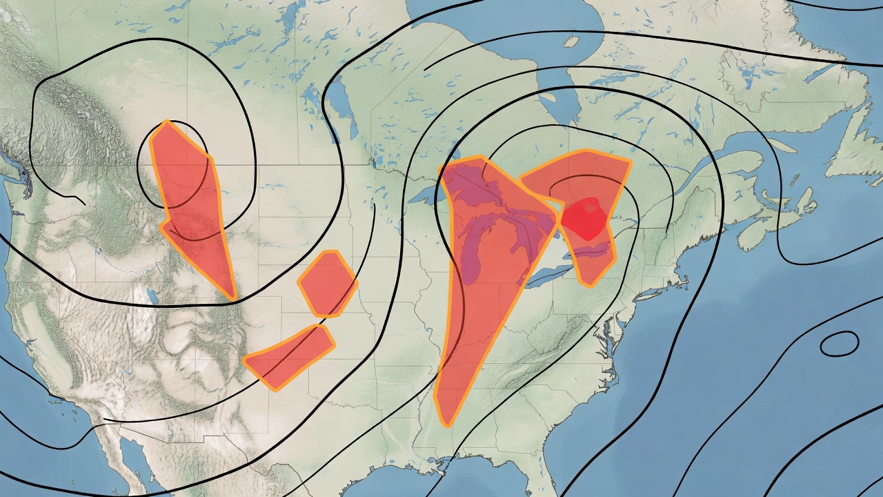
Successful storm chasing relies far less on luck and far more on rigorous atmospheric analysis. A severe weather event is the visible outcome of a complex thermodynamic and kinematic equation occurring miles above the earth's surface. Without a fundamental understanding of these meteorological principles, chasers are merely driving blindly into hazardous rain. To position yourself perfectly—ahead of the storm, out of the hail core, with a clear view of the updraft base—you must learn to read the invisible forces shaping the sky.
1. Atmospheric Instability and CAPE
The fuel for any thunderstorm is atmospheric instability, most commonly measured as CAPE (Convective Available Potential Energy). CAPE represents the amount of buoyant energy available to an accelerating parcel of air as it rises through the atmosphere. Measured in Joules per kilogram (J/kg), higher CAPE values indicate a more violently unstable environment. Generally, values below 1,000 J/kg suggest weak storms, 1,000 to 2,500 J/kg indicates moderate instability capable of severe weather, and values exceeding 3,000 J/kg signal an extremely explosive atmosphere where explosive updraft development is highly likely.
However, CAPE alone does not guarantee a storm. The atmosphere often contains a "cap" (Convective Inhibition, or CIN), which is a layer of warm air aloft that suppresses rising surface air. A strong cap will prevent storm initiation entirely, leading to "blue sky busts." The ideal chasing scenario occurs when daytime heating or an incoming front provides just enough forcing to break a moderate cap, allowing massive amounts of underlying CAPE to be released violently into a few isolated, highly photogenic supercells rather than a messy, disorganized line of rain.
2. Wind Shear and Helicity
While CAPE dictates how forcefully air rises, wind shear determines what happens to that air once it begins its ascent. Without wind shear, an updraft will eventually rain back down upon itself, choking off the storm's inflow. Vertical wind shear—the change in wind speed and direction with height—tilts the updraft, separating it from the downdraft. This allows the storm to ingest warm, moist air continuously, vastly extending its lifespan.
For tornadogenesis, a specific type of shear known as Storm Relative Helicity (SRH) is critical. SRH measures the aerodynamic twisting force in the lower atmosphere. When winds at the surface are backing (e.g., blowing from the southeast) while upper-level winds are veering and much stronger (e.g., blowing rapidly from the west), a horizontal rolling tube of air is generated. A powerful updraft can tilt this horizontal rotation into the vertical, creating a mesocyclone—the rotating heart of a supercell. High SRH values in the lowest 1 to 3 kilometers of the atmosphere strongly correlate with tornado potential.
3. Radar Interpretation
Modern storm chasers rely heavily on high-resolution NEXRAD Level II radar data, viewed through specialized applications. Understanding base reflectivity is just the beginning. The classic "Hook Echo" signature on reflectivity occurs when precipitation is drawn around the rotating mesocyclone, creating a hook-like appendage on the right-rear flank of the storm. This is the primary area of interest for intercept operations. Furthermore, the V-Notch signature at the forward edge of a storm indicates intense upper-level divergence and a powerful updraft capable of massive hail.
Equally important is Base Velocity data, which uses the Doppler effect to show wind motion toward (often colored green) and away from (colored red) the radar site. Where bright green and bright red pixels sit immediately adjacent to each other, a velocity couplet exists, indicating intense rotation. Chasers look for these tight, bright couplets co-located with a hook echo. Advanced users also monitor Correlation Coefficient (CC), a dual-polarization radar product. A sudden, localized drop in CC within a velocity couplet often confirms a Tornadic Debris Signature (TDS), indicating that a tornado is actively lofting non-meteorological debris (trees, dirt, structures) into the air.
4. Visual Spotting and Storm Structure
All the data in the world cannot replace the trained eye of a spotter. A chaser must continuously correlate radar data with visual ground truth. Key features to identify include the rain-free base, which marks the primary updraft region where tornadoes typically form. Below the rain-free base, chasers look for a wall cloud—an abrupt, localized lowering of the cloud base that often exhibits visible, rapid rotation. The presence of a strong, persistent rear-flank downdraft (RFD) is another visual cue. The RFD manifests as a clear slot wrapping around the back of the wall cloud, and its arrival is frequently the final trigger mechanism for a tornado to touch down.